Greta Berger · 4 September 2026
Historic Records Digitization Reveals Untold Settlement Dynamics Across the Region
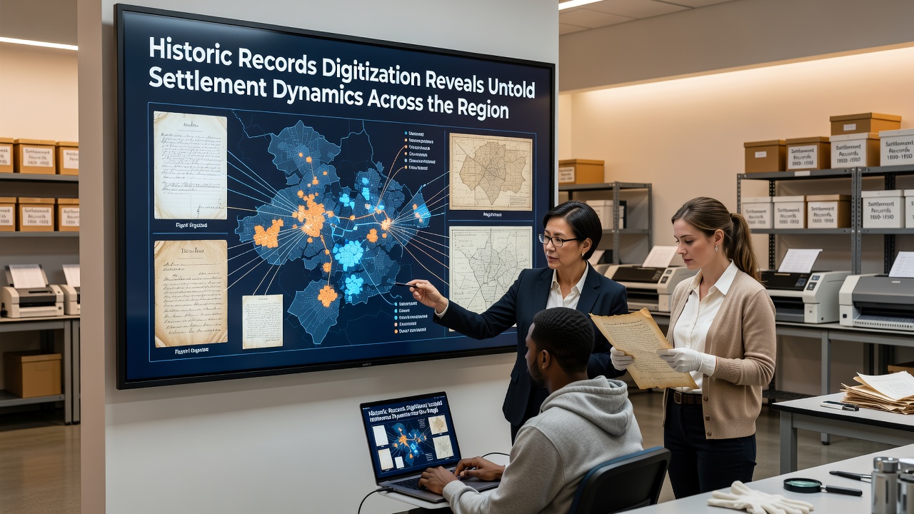
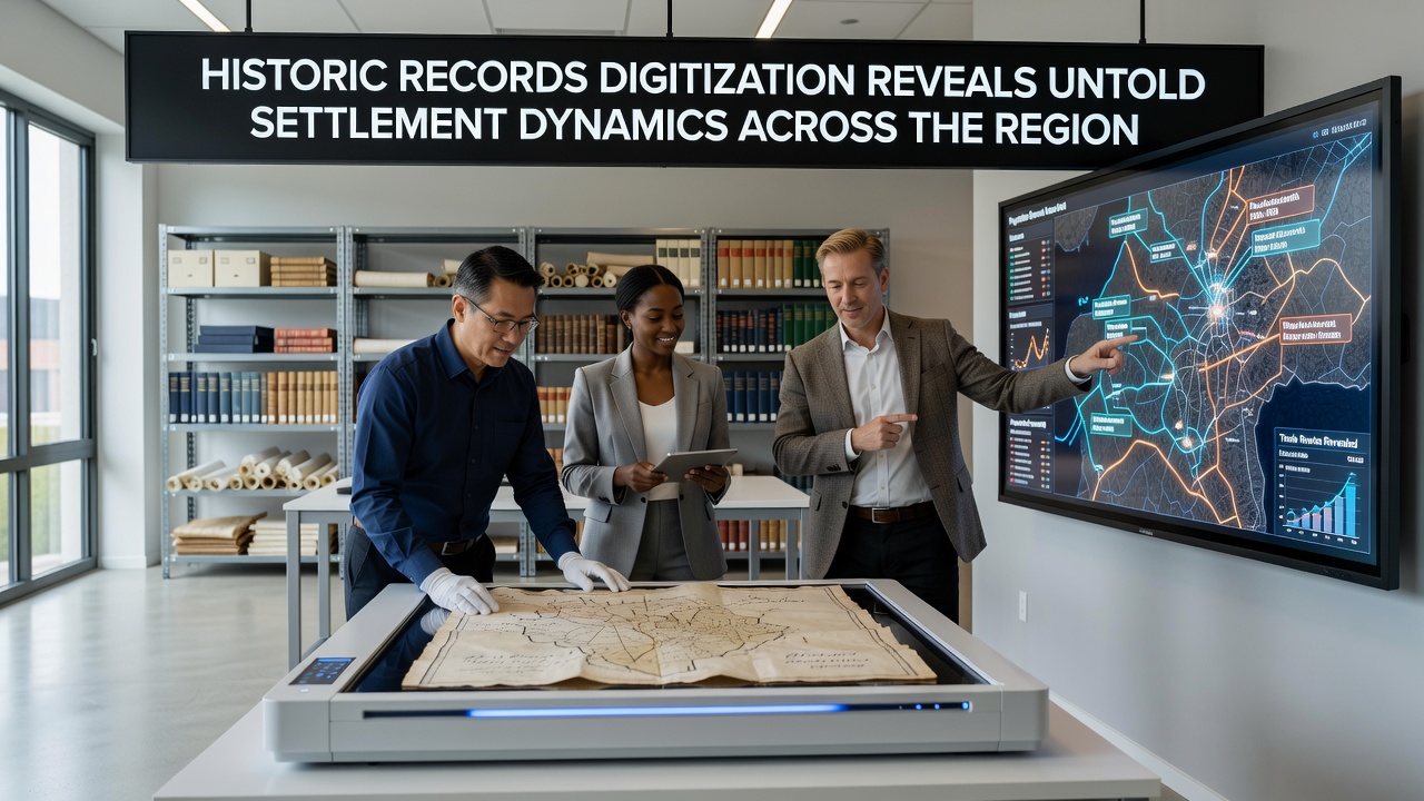
Archivists across the region completed a multi-year effort to digitize thousands of historic documents, and the resulting database has already begun to reshape how researchers understand early settlement patterns, with full public access scheduled for September 2026. Primary sources include land patents, census rolls, church registers, and surveyor notes that span from the late 1700s through the early 1900s, and these materials now sit in searchable form rather than scattered physical collections. The project drew on partnerships with national repositories, and according to records from the National Archives similar efforts in other areas have produced comparable shifts in historical interpretation.
Project Scope and Methods
Teams scanned more than 85,000 pages using high-resolution equipment while metadata specialists added geographic coordinates and cross-references to existing maps, and optical character recognition software handled printed text although handwritten entries required manual transcription by trained volunteers. Funding came through regional heritage grants along with contributions from academic institutions, and the workflow followed standards established by the National Library of Australia for long-term digital preservation. Observers note that the combination of image access and structured data fields allows queries that were previously impossible, such as tracking individual families across multiple decades or identifying clusters of settlement along specific waterways.
Key Findings on Migration and Land Use
Analysis of the digitized records shows that initial European arrivals concentrated along river corridors before spreading into upland areas once reliable roads appeared, and cross-referencing with later census data reveals repeated patterns of secondary migration where earlier settlers sold improved parcels and moved farther west. Church registers indicate that certain religious communities arrived in tight-knit groups rather than as scattered individuals, and this clustering influenced both agricultural practices and local governance structures. Data indicates that land claims filed between 1820 and 1840 frequently overlapped with older indigenous trail networks, suggesting continuity in transportation routes even as ownership changed hands.
Demographic Patterns and Economic Drivers
Figures reveal that household size declined steadily from the 1850s onward while the proportion of non-agricultural occupations rose, and these shifts align with the arrival of rail lines documented in separate surveyor ledgers. Researchers have traced how seasonal labor demands in mining and timber industries pulled temporary workers into the area, many of whom later established permanent households once transportation costs dropped. One study of probate records uncovered repeated instances of widows retaining control of family properties for extended periods, a detail that challenges earlier assumptions about inheritance practices in frontier settings. The full dataset release in September 2026 will include linked GIS layers that let users visualize these changes over time.
Interactions with Indigenous Populations
Treaty documents and trader journals digitized during the project document periods of both cooperation and conflict, and researchers note that certain families maintained ongoing trade relationships across cultural lines well into the reservation era. Mission records provide names and approximate locations for indigenous individuals who participated in agricultural training programs, and these entries now connect to later census enumerations that track descendants into the twentieth century. Such linkages allow for more granular study of demographic continuity than was feasible when documents remained in separate physical collections.
Broader Implications for Regional History
Local historical societies have already begun incorporating the new findings into public exhibits, and educators report that students respond positively when they can search records by family name or location. The digitization also supports comparative work with collections held by Library and Archives Canada, where similar patterns of river-based settlement appear in border regions. Planners examining current land-use proposals now consult the historical layers to understand long-term environmental pressures that originated with nineteenth-century clearing and drainage projects.
Conclusion
The completed digitization project supplies a richer evidentiary base for understanding how settlement unfolded across the region, and the September 2026 public launch will extend access to anyone with an internet connection. Continued analysis of the linked records promises additional detail on economic networks, family strategies, and environmental change that shaped the area over two centuries.